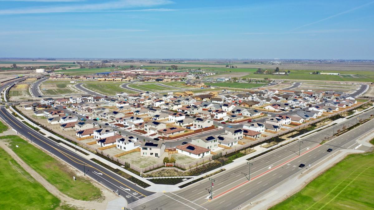
Central Lathrop Specific Plan Phase 1

The Central Lathrop Specific Plan (CLSP) area is comprised of approximately 1,520 acres located west of the I-5 freeway, north of the West Lathrop Specific Plan area, and east of the San Joaquin River. The plan area is just north of the Interstate 5/Interstate 205/Route 120 interchange. The Central Lathrop Specific Plan envisions a vibrant and livable community that offers a balanced mix of residential neighborhoods; retail, office, service-related and other employment generating land uses; and public/semi-public uses such as schools, parks, and other civic oriented facilities. Approximately 6,800 dwelling units and 5 million square feet of office and retail uses are planned for the area. The Central Lathrop Specific Plan contains Lathrop's first ever high school.
The following documents are available in PDF format by clicking on the titles below.
Central Lathrop Design Guidelines and Master Signage Plan
Draft Environmental Impact Report (DEIR) Documents
- Draft Environmental Impact Report (DEIR) for Central Lathrop Specific Plan (CLSP)
- Addendum I to the DEIR for CLSP dated December 2005
- Addendum II to the DEIR for CLSP dated March 2014
- Addendum III to the DEIR for CLSP dated October 2016
Final Environmental Impact Report (FEIR) to the Central Lathrop Specific Plan (CLSP)
